What happened
The Scottish Environment Protection Agency (SEPA) expanded its Scottish Borders Flood Warning service from 30 areas to 32 in July 2026, according to a Flood Industry report published on 12 October. The agency said the revised service provided more targeted warnings around Selkirk and Preston to Paxton as it entered its first autumn and winter.
Eleanore Cooper, SEPA’s head of environmental forecasting, warning and informing, said the changes better accounted for local conditions and the effects flooding could have on individual communities. She described a warning received on a phone as the final output of a wider technical process, rather than an isolated notification.
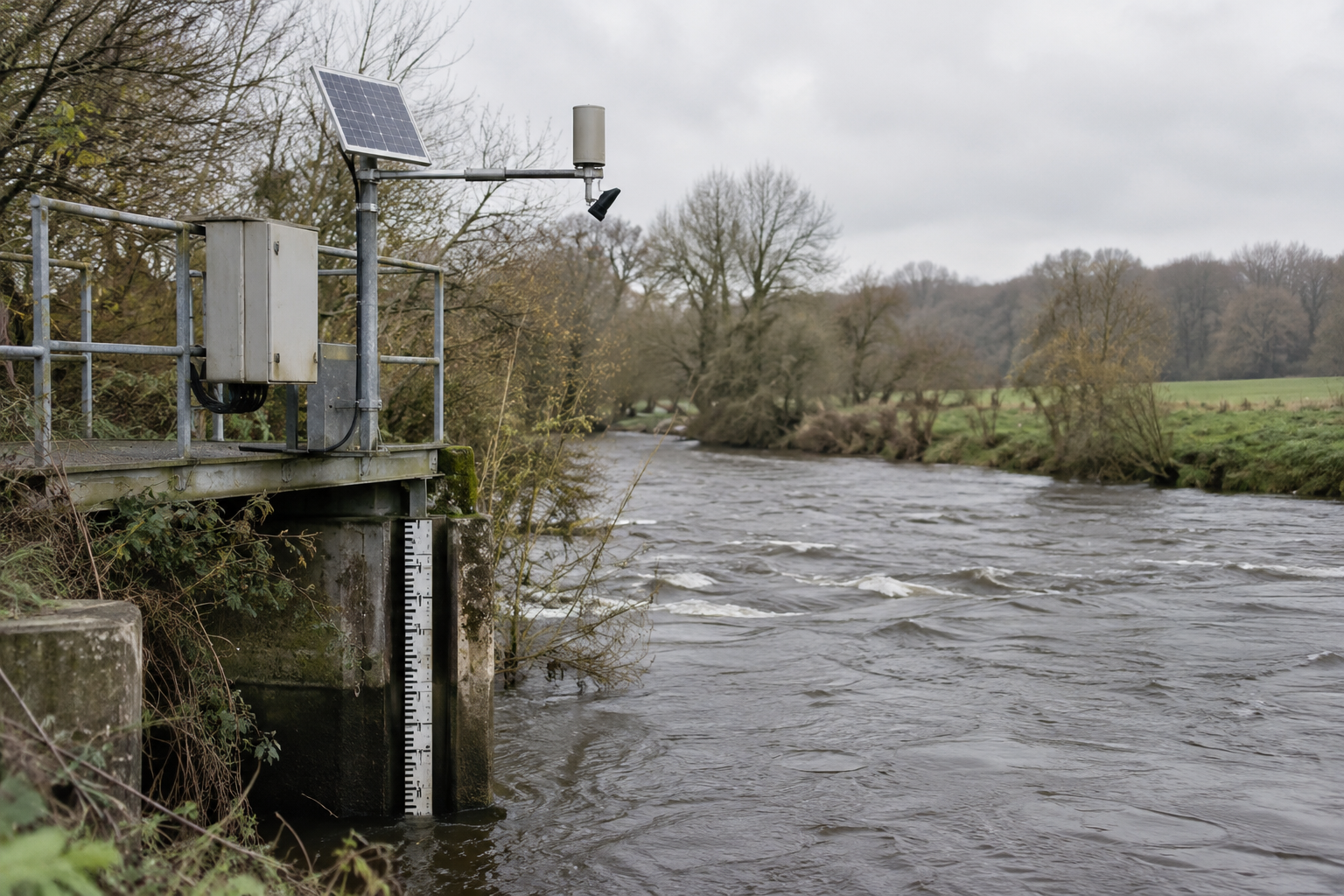
To explain the work supporting its flood warnings, SEPA highlighted an operational gauging station on the River Tweed at Peebles. According to the agency, observations from these sites help its specialists assess how river conditions are changing.
Scottish Borders Council’s executive member for public safety and resilience, Councillor Robin Tatler, urged people to check their local flood risk. He said flooding could develop quickly and directed residents to the council’s emergency planning webpages for advice on preparing for and responding to emergencies.
Tatler said SB Alert provides local information covering weather warnings, incidents and other emergencies. He also said the council was working with SEPA to help communities prepare through information tailored more closely to their locality.
The source directed the public to SEPA’s website to view the Scottish Flood Forecast and current Flood Alerts and Warnings. It identified the same website as a route to register for Floodline.
The background
SEPA said it had completed a full review and recalibration of the service earlier in 2026. Recent rainfall and river-level records informed changes to both its forecasting models and the thresholds used for issuing warnings.
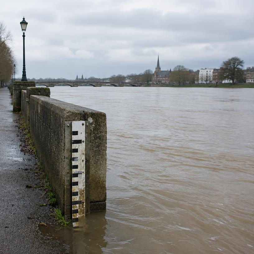
According to the agency, equipment at gauging stations records water levels continuously, while staff take physical measurements to establish how those levels relate to the volume of water flowing through a river. The measurements support understanding of river flow alongside the ongoing level observations.
SEPA said changes to rivers and their channels mean the equipment and measurements require regular checks to keep the information reliable. Its account of river monitoring therefore covered both automated observations and work undertaken by staff at monitoring sites.
Bruce Campbell, SEPA’s hydrometry national team manager, said his teams maintain the monitoring network, carry out measurements and check the resulting data. He described those duties as the monitoring contribution to work undertaken with the agency’s flood forecasting specialists.
The source said the Scottish Flood Forecasting Service also produces a Flood Guidance Statement every day for Category 1 and Category 2 responders. That output supports local authorities, emergency services and other organisations in preparing for potential flooding and responding when required.
What people are saying
Eleanore Cooper said people walking past gauging stations might not recognise their purpose. Bruce Campbell also highlighted the limited public visibility of the sites, which he said contributed to an understanding of developing flood risk for communities and first responders across Scotland.
SEPA said its rain gauge network supplies rainfall observations used alongside river data in flood forecasting. Cooper said forecasters combine monitoring information with weather forecasts, computer models and specialist expertise to assess both current conditions and what might follow.
What happens next
SEPA identified sepa.org.uk/flooding as the access point for the Scottish Flood Forecast, current Flood Alerts and Warnings, and Floodline registration. Tatler said advice on preparing for and responding to emergencies is available on Scottish Borders Council’s emergency planning webpages.